Wetland delineation establishes the existence (location) and physical limits (size) of a wetland for the purposes of federal, state, and local regulations. Wetland delineation is also an element of a “jurisdictional determination.” This process identifies which water bodies within a project's boundaries meet the definition of "waters of the United States." Once the limits of the wetlands are defined by a wetland scientist, we can then go out to locate these marked areas and show them on a survey to facilitate the process for appropriate permitting. Working closely with these scientist's accelerates the permitting process so the client can quickly make decisions on how to proceed with the property. We use mapping grade GPS to locate these areas. This allows us to accurately cover greater distances in a shorter period of time.
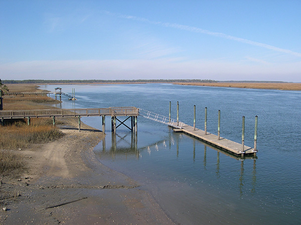
By law, the critical areas along the Atlantic Ocean are the coastal waters, tidelands, and beach/dune systems. In these areas DHEC-OCRM has direct jurisdiction for permits to perform any alteration. The Office of Ocean and Coastal Resource Management (OCRM) is helping protect and restore these coastal habitats in a number of ways. One of these is to identify the critical line between upland and coastal habitats. Once these lines are established, Atlas Surveying, Inc. can locate these lines and then show them on a survey similar to a wetland delineation plat. This is necessary for any property that adjoins saltwater and brackish habitats. Depending on the property's location, there are guidelines that determine where the building setbacks are located. Architects, engineers and land planners need this information to make sure their conceptual designs meet the codes and standards of the governing municipality or community. Our experience working with these professionals helps to guide us in correctly identifying these lines and displaying these areas.
These delineations move and expire over time. Contact Atlas Surveying, Inc. today to get started on your wetland & OCRM delineations to make sure you have the most up to date and accurate survey of your property!