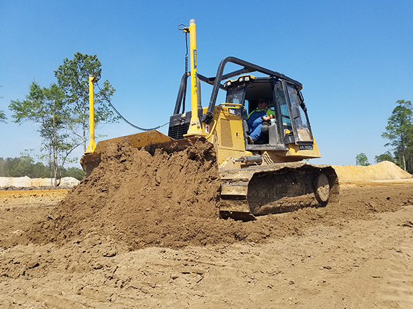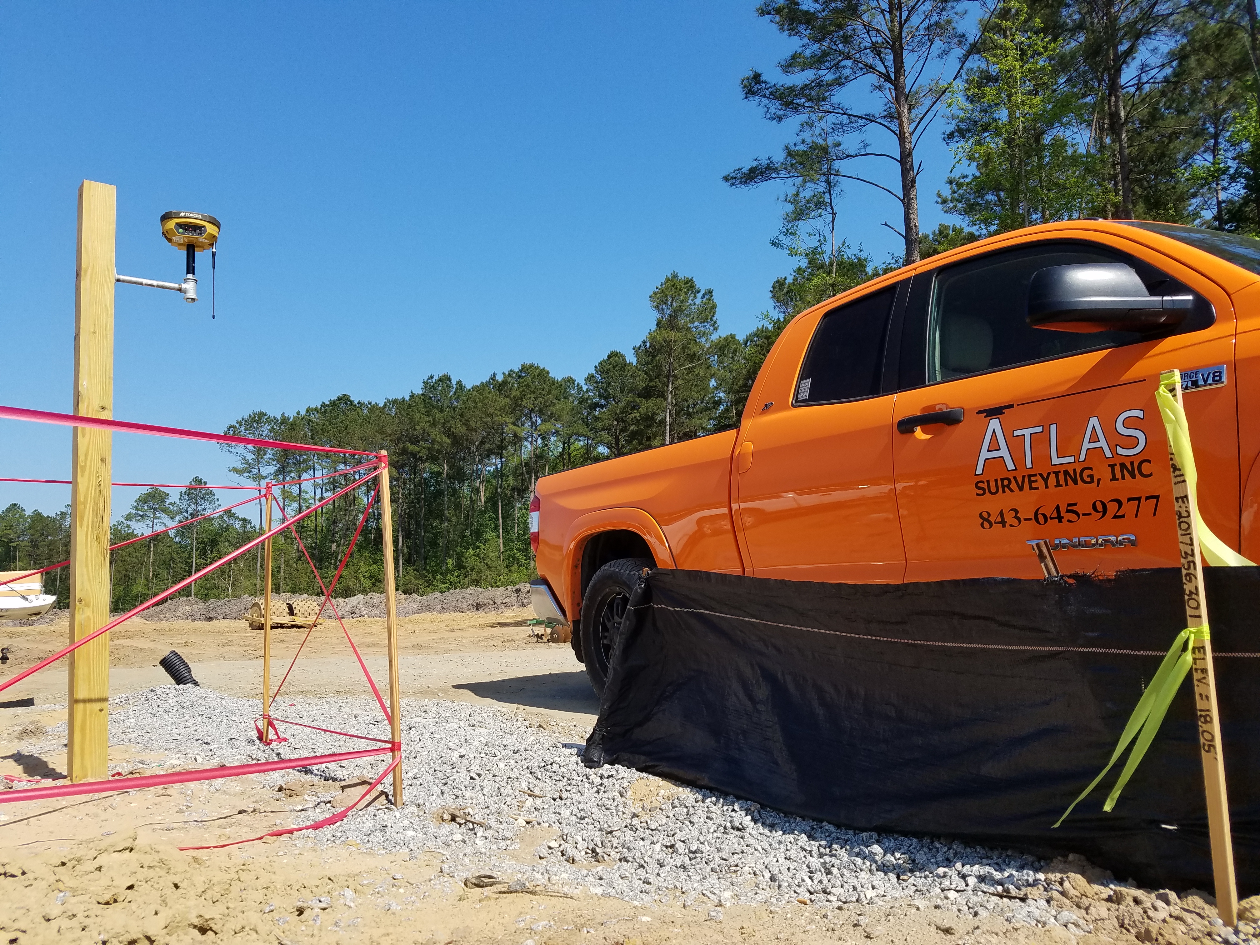
Being in a digital age, we must look forward to new technologies and techniques to stay competitive. Atlas uses the latest software to create Machine Control files, a growing tool for land development and soon to become an industry standard. Machine Control uses GPS technology and AutoCAD generated surfaces in conjunction with earth-moving machinery to ensure your project is more accurate and more time efficient. Having cut/fill and site feature location across the entire project at all times for operators and supervisors increases machine production which means less machine/man hours on a site, faster job completion, better finished surfaces, and less re-work or costly delays from grade checking mistakes. Instead of looking out of the cab for information on a stake, hub, or grade checker, the operator has this guidance at his fingertips anywhere on the site. We are able to generate machine control files with state of the art Carlson Civil software that are compatible with Trimble and Topcon Machine Control systems. With this being a digital product, we are able to give our clients the tools to complete a project without us ever having to visit the site. Our goal is to provide our clients with complete and accurate data to build the following projects:
Please contact us today to find out how Atlas can create Machine Control files for you!
