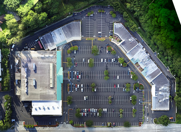
 ALTA/NSPS Surveys
 Bathymetric Survey
 Borrow Pit Survey
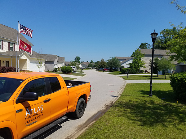 Boundary & Subdivision Surveys
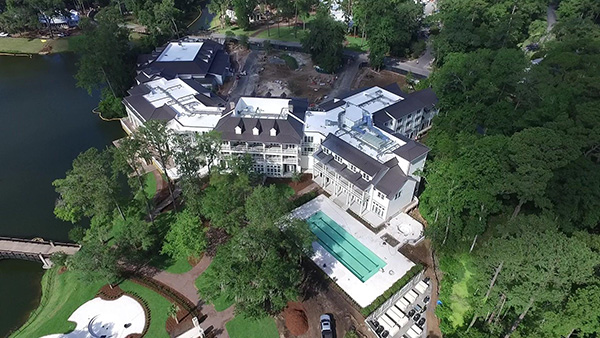 Construction As-Built Survey/Record Drawings
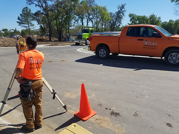 Construction Staking
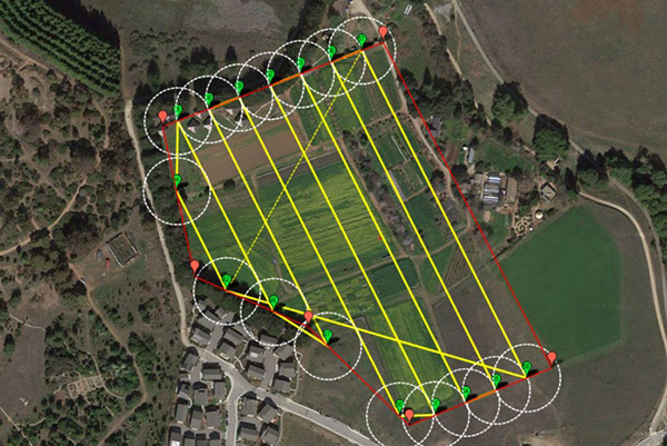 Drone Mapping
 Easement and Right of Way Plat
 Existing Condition Survey
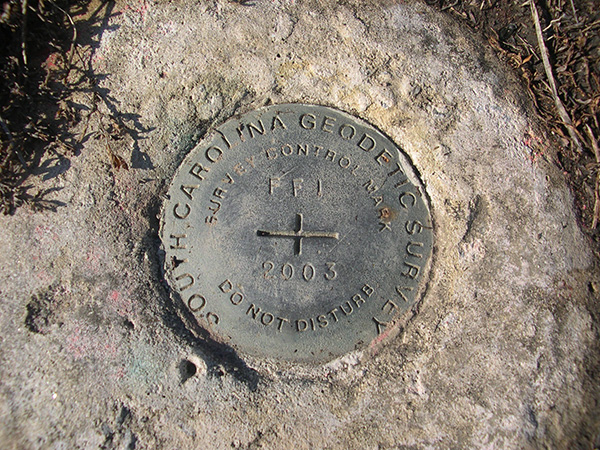 FEMA Flood Certificates
 Global Positioning Surveying (GPS) Support
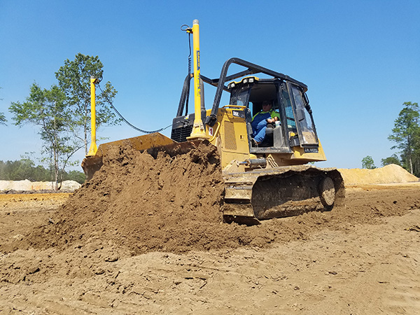 Machine Control
 Route Surveys
 Setting Benchmarks and Control
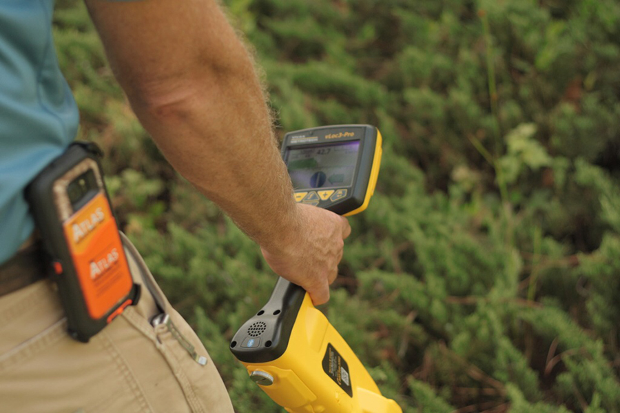 Subsurface Utility Engineering
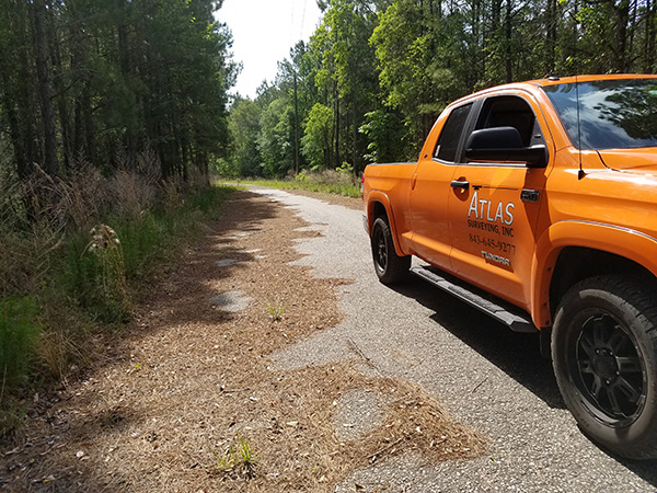 Tree and Topographic Surveys
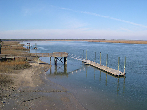 Wetland & OCRM Delineations
Back to Top